
Central Arkansas suffered "significant damage" Friday, the state’s governor announced, after meteorologists said a tornado touched down in North Little Rock, pummeling buildings and trees across the region.
Gov. Sarah Huckabee Sanders declared a state of emergency and activated the National Guard on Friday afternoon.
"Praying for all those who were and remain in the path of this storm," she said.
The twister that touched down in North Little Rock on Friday afternoon also damaged Jacksonville and Sherwood, meteorologist Travis Shelton said.
Images from Little Rock and the surrounding area showed battered vehicles, downed power lines, toppled trees and mangled homes. A photo broadcast by NBC affiliate KARK of Little Rock showed a Baskin Robbins that appeared to have its facade sheered off.
Kenneth Bruton was leaving a grocery store when he got in his pickup, looked back and saw the tornado coming over a hill.
“I got out of my truck and started running for shelter,” Bruton told KARK. The force of the wind knocked him down on his face, he said, but he was able to make it into a salon.
“And as I got in, huddled up against the cement barrier, every single glass window blew out, and people were blown back,” Bruton said. “And I held on. And it must have been a minute just huddled. I thought I was a goner for sure.”
The University of Arkansas for Medical Sciences Medical Center in Little Rock was operating at a mass casualty level and expecting at least 15 to 20 patients from the tornado, a spokesperson for the facility told the Associated Press.
KARK reported that 17 patients were at another hospital, Baptist Health Medical Center.
A spokesman for Metropolitan Emergency Medical Services in Pulaski County, which includes Little Rock, said there were “some injuries” but couldn’t say how many.
The Arkansas State Emergency Operations Center issued a full activation in response to the severe weather Friday afternoon, according to a statement.
Almost 70,000 utility customers are without power in the state as of 6 p.m. E.T., according to poweroutage.us.
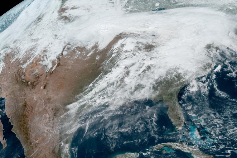
The severe weather was threatening millions of people across the region, with the National Weather Service issuing tornado watches from Iowa to eastern Texas.
The agency warned that many tornadoes can be expected as well as “widespread hail up to apple size” and wind gusts up to 70 mph.
Kentucky Governor Andy Beshear declared a state of emergency on Friday afternoon ahead of the severe weather expected in the western part of the state.
A tornado warning was also issued in southern Iowa where at least one tornado was indicated by radar, according to the National Weather Service field office in Des Moines.
Severe thunderstorms are also likely with flash flooding possible from the Midwest to the Lower Mississippi Valley on Friday, according to the National Weather Service.
Storms will move at speeds topping 55 mph and will go late into the night, making for very dangerous conditions, according to the National Weather Service.
Intense rainfall rates of up to 3 to 5 inches could bring flash floods to some areas. The areas with the greatest risk for flooding through Friday night are across the Ohio, Tennessee, and Lower Mississippi valleys.
This major storm system is set to spread weather hazards across the central and eastern U.S. over the next few days.
