


Minor Tsunami Hits Japanese Islands After Offshore Quake
Small tsunami waves reached remote Japanese islands following a magnitude 5.9 earthquake. No injuries or damage reported. The event highlights Japan's vulnerability to seismic activity.
On Tuesday morning, September 24, 2024, remote Japanese islands experienced minor tsunami waves following an offshore earthquake. The seismic event, potentially triggered by volcanic activity, resulted in no reported injuries or damage.
The Japan Meteorological Agency (JMA) initially issued a tsunami advisory for the Izu and Ogasawara island chains, warning of possible waves up to 1 meter above tide levels. Established in 1875, the JMA is responsible for monitoring seismic activity in one of the world's most earthquake-prone countries. Japan experiences approximately 1,500 earthquakes annually, highlighting the nation's vulnerability to seismic events.
The earthquake's magnitude was reported as 5.9 by the JMA, while the U.S. Geological Survey measured it at 5.6. This discrepancy is not uncommon, as different agencies may use varying methods to calculate earthquake magnitudes. The epicenter was located about 180 kilometers south of Hachijo Island, which lies 300 kilometers south of Tokyo.
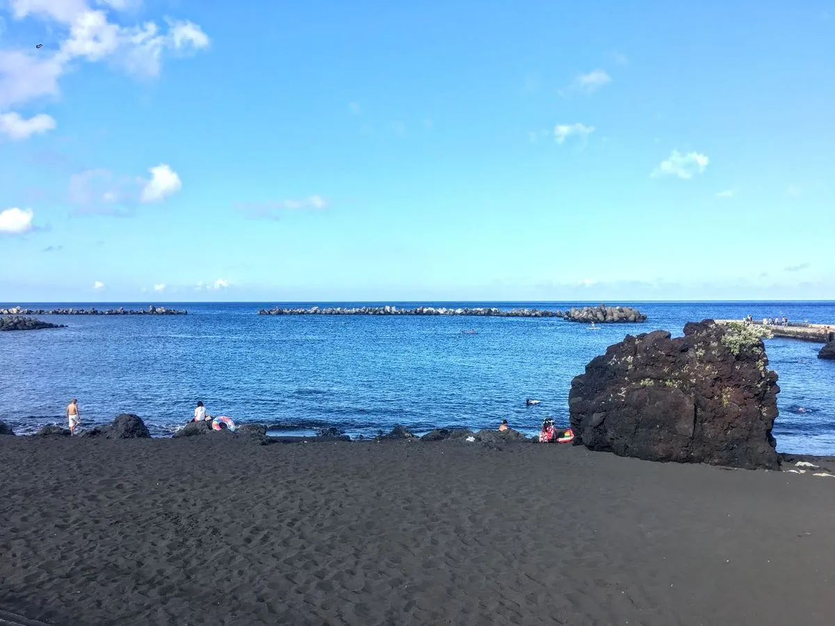
Approximately 30 minutes after the quake, a tsunami measuring 50 centimeters was detected in the Yaene district on Hachijo Island. Known for its black sand beaches and hot springs, Hachijo is part of the Izu Islands, a group of volcanic islands extending south and east from the Izu Peninsula of Honshu. Smaller waves were observed on three other islands: Kozushima, Miyakejima, and Izu Oshima.
The term "tsunami" originates from the Japanese words "tsu" (harbor) and "nami" (wave). These powerful ocean waves can travel at speeds up to 800 km/h in deep waters, making early detection crucial for coastal communities. Japan has implemented one of the world's most advanced earthquake early warning systems to mitigate potential risks.
Fumihiko Imamura, a seismologist from Tohoku University, suggested that the tsunami may be related to undersea volcanic activity. This connection is plausible, as volcanic activity can indeed trigger earthquakes through magma movement and pressure changes. The Izu Islands are home to several active volcanoes, including Mount Mihara on Izu Oshima, further emphasizing the region's geological complexity.
Japan's location on the Pacific "Ring of Fire" contributes to its high seismic activity. This 40,000-kilometer horseshoe-shaped area is known for frequent earthquakes and volcanic eruptions. The country sits on the Pacific Plate, one of the largest tectonic plates on Earth, which influences its geological instability.
The tsunami advisory was lifted approximately three hours after the initial earthquake, with no significant damage reported. This event serves as a reminder of Japan's ongoing efforts to prepare for and respond to seismic threats. The country's building codes are among the strictest globally, reflecting the need for resilient infrastructure in earthquake-prone regions.
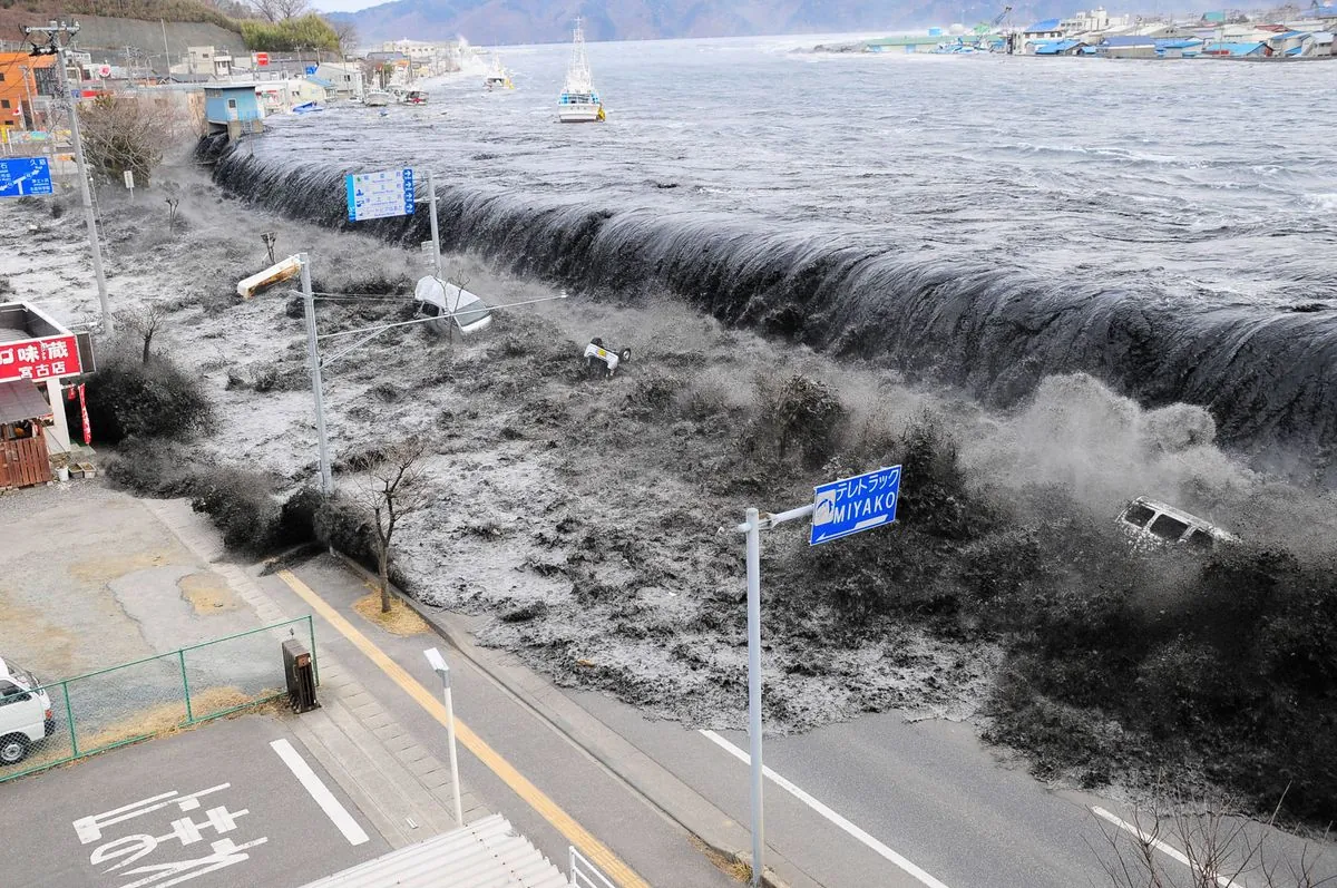
While this recent event was relatively minor, it recalls more severe incidents in Japan's history. The 2011 Tohoku earthquake and tsunami, for instance, was the most powerful ever recorded in the country, with a magnitude of 9.0. Such events underscore the importance of continued vigilance and research in seismology and disaster science.
As Japan continues to navigate its complex geological landscape, events like these minor tsunamis provide valuable data for researchers and policymakers. With over 100 active volcanoes accounting for about 10% of the world's total, Japan remains at the forefront of earthquake and tsunami preparedness, building on a long history of seismic awareness dating back to the first recorded tsunami in 684 AD.