Florida Braces for Category 4 Hurricane Helene's Imminent Landfall
Hurricane Helene approaches Florida's Panhandle as a Category 4 storm, prompting evacuations and warnings. Officials stress the potential for catastrophic winds, deadly storm surge, and widespread flooding.

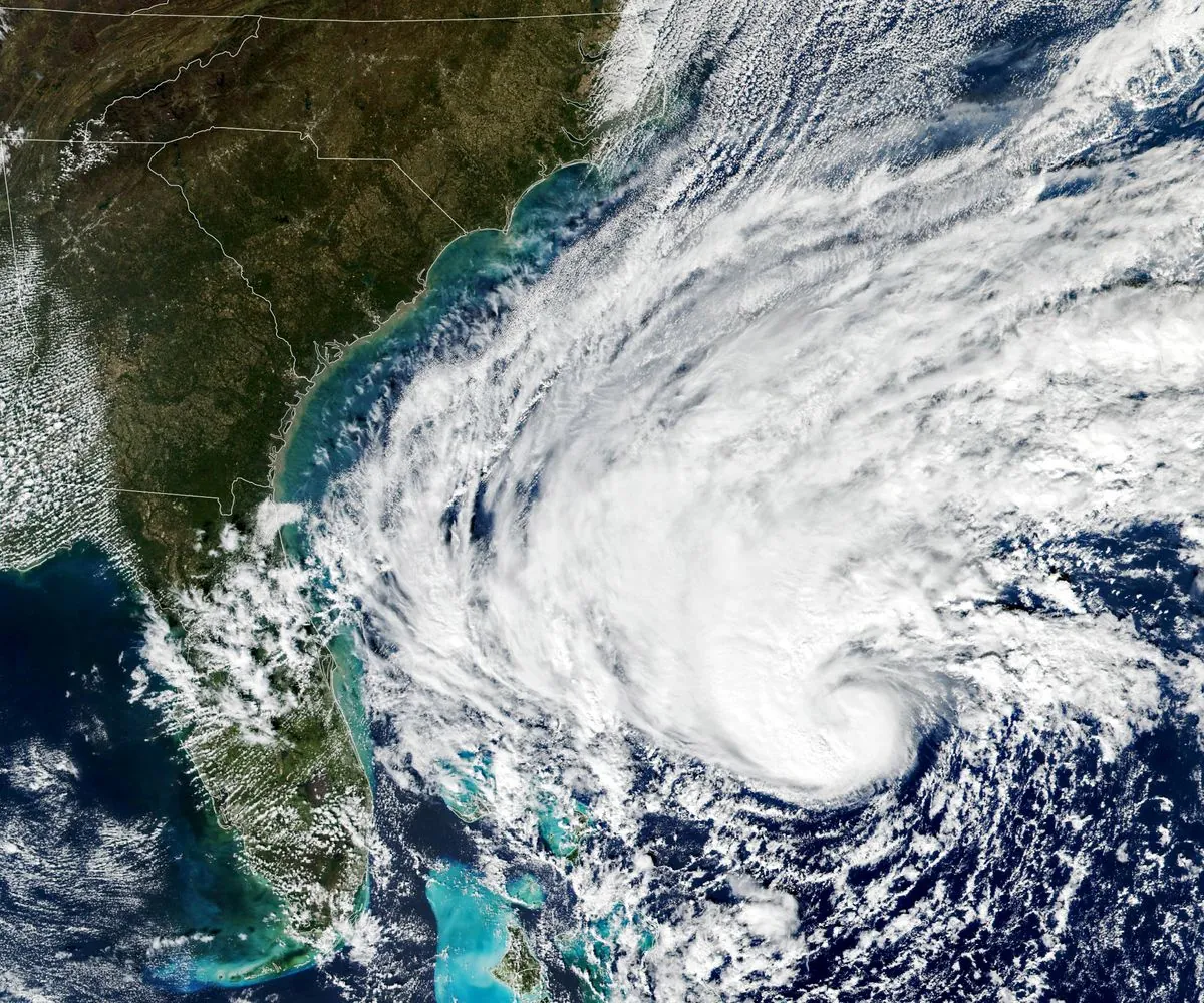
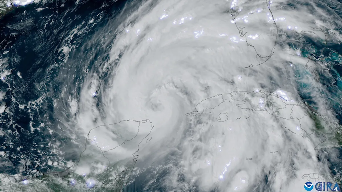
As Hurricane Helene approaches the Florida Panhandle, residents and officials are preparing for what could be one of the most powerful storms to hit the region in recent history. The National Hurricane Center (NHC) has issued dire warnings for the impending arrival of this Category 4 hurricane, expected to make landfall on September 27, 2024.
Jared Miller, sheriff of Wakulla County, emphasized the gravity of the situation, stating that coastal and low-lying areas face a non-survivable event. Authorities have issued urgent evacuation orders, stressing that time is running out for residents to reach safety.
Hurricane Helene has intensified as it traversed the Gulf of Mexico, drawing strength from the warm waters. The NHC forecasts sustained wind speeds of up to 156 mph (251 km/h) upon landfall. Jamie Rhome, NHC Deputy Director, warned of "catastrophic wind impacts" for those in the storm's path.

The Big Bend area of Florida, where the panhandle meets the peninsula, is expected to face a storm surge of 15 to 20 feet (4.6 to 6.1 meters). This abnormal rise in water level poses a significant threat to coastal communities. Storm surge can penetrate far inland, endangering areas beyond the immediate coastline.
More than 40 million people across Florida, Georgia, and Alabama are under hurricane and tropical storm warnings. Numerous counties have announced school closures, including Hillsborough and Pinellas. Healthcare facilities in vulnerable areas, such as nursing homes and hospitals, have been ordered to evacuate.
John Dailey, mayor of Tallahassee, Florida's capital and the largest city in the Panhandle, expressed concern that Helene could be the strongest storm to ever make a direct hit on the city. He warned of potential "unprecedented damage" to the community.
"Helene could produce unprecedented damage like nothing we have ever experienced before as a community."
The NHC predicts up to 15 inches (38.1 cm) of rain in isolated areas, raising the risk of flash and urban flooding. Jamie Rhome emphasized that about half of hurricane-related fatalities typically result from flash flooding, often due to people driving into flooded roads.
The hurricane's impact area is expected to stretch approximately 180 miles (290 km) north from the Florida Panhandle into southern Georgia. Residents are advised to prepare for prolonged power outages and blocked roads due to fallen trees.
As Helene approaches, it's crucial to remember that the Saffir-Simpson Hurricane Wind Scale, which categorizes hurricanes based on sustained wind speeds, does not account for other hazards such as storm surge or rainfall-induced floods. These additional factors can significantly contribute to a hurricane's destructive potential.
Emergency management agencies are coordinating response efforts, while hurricane hunters continue to fly into the storm to gather vital data for forecasts. Climate change is expected to increase the intensity of hurricanes in the future, making preparedness even more critical.
Residents in affected areas are urged to follow local authorities' instructions, stay informed through official channels, and take all necessary precautions to ensure their safety as Hurricane Helene bears down on the Florida coast.


