


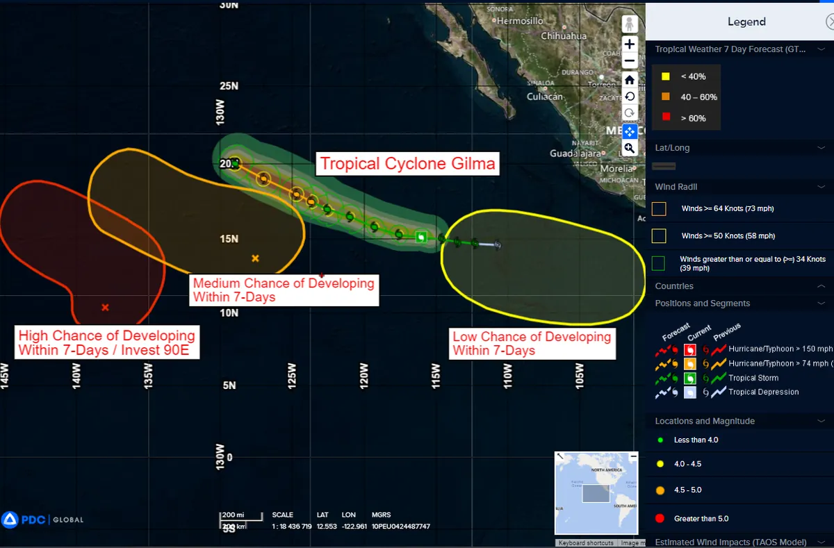
Powerful Hurricane Gilma Intensifies in Eastern Pacific, Poses No Land Threat
Hurricane Gilma strengthens to Category 3 in the eastern Pacific, with winds reaching 115 mph. Located far from land, it's expected to remain a potent storm for days, posing no immediate coastal risks.
In the vast expanse of the eastern Pacific Ocean, Hurricane Gilma has intensified into a formidable Category 3 storm, showcasing the dynamic nature of tropical cyclones in this region. As of August 22, 2024, the hurricane's center was positioned approximately 1,025 miles (1,649 kilometers) west-southwest of the southern tip of Mexico's Baja California peninsula, a location that currently poses no threat to coastal areas.
The National Hurricane Center (NHC) in Miami, a crucial component of the National Weather Service, reported that Gilma's maximum sustained winds have reached near 115 mph (185 kph). This wind speed firmly establishes Gilma as a major hurricane on the Saffir-Simpson Hurricane Wind Scale, which categorizes hurricanes from 1 to 5 based on their sustained wind speeds.
Gilma's journey began approximately one year and nine days ago when it strengthened to tropical storm status. Since then, the system has undergone significant intensification, demonstrating the potential for rapid development that tropical cyclones often exhibit in the eastern Pacific basin.
Meteorologists at the NHC have indicated that further strengthening remains possible, highlighting the unpredictable nature of these powerful weather systems. Gilma is currently moving in a west-northwest direction at a speed of 6 mph (9 kph), a trajectory that is expected to keep it well away from land masses in the coming days.
The hurricane's wind field extends considerably from its center, with hurricane-force winds reaching outward up to 30 miles (48 kilometers) and tropical-storm-force winds extending even further, up to 125 miles (205 kilometers). This extensive wind field underscores the far-reaching impacts that major hurricanes can have on oceanic conditions.
"There are no coastal watches or warnings in effect at this time."
It's worth noting that the eastern Pacific hurricane season, which officially runs from May 15 to November 30, typically sees about 15 named storms per year. Hurricane Gilma serves as a reminder of the atmospheric and oceanic conditions that foster the development of these powerful storms.
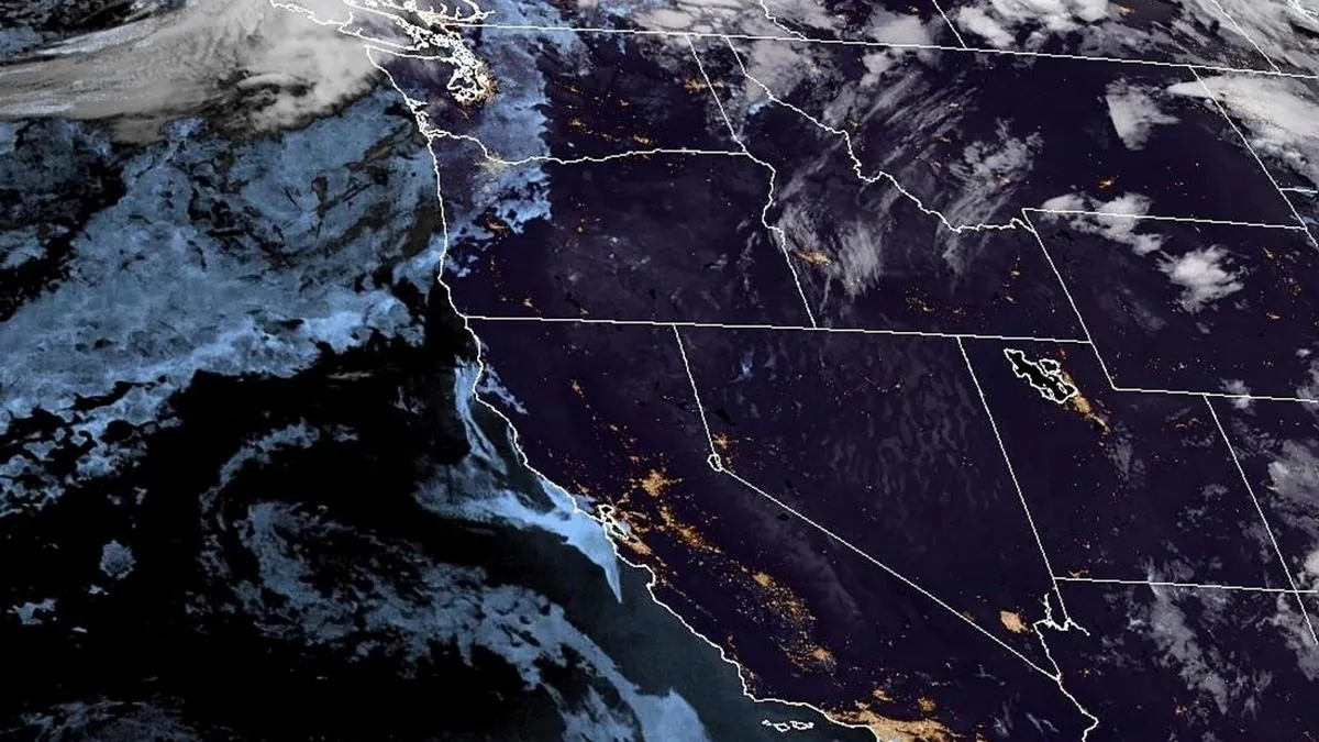
While Gilma currently poses no direct threat to land, its formation and intensification provide valuable data for meteorologists and climate scientists. Satellite technology plays a crucial role in tracking and forecasting the movements of such storms, allowing for improved understanding and prediction of hurricane behavior.
As Hurricane Gilma continues its journey across the eastern Pacific, it serves as a testament to the power and complexity of tropical weather systems. Although it may not make landfall, its influence on ocean temperatures and currents could have far-reaching effects on marine ecosystems in the region.