6.1 Magnitude Quake Shakes El Salvador, No Damage Reported
A 6.1 magnitude earthquake struck off El Salvador's coast, felt in neighboring Guatemala. President Bukele confirmed no damages or casualties, with services continuing uninterrupted.

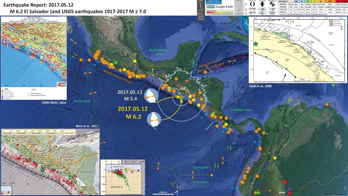
On Wednesday afternoon, a significant seismic event occurred off the coast of El Salvador, as reported by the U.S. Geological Survey. The earthquake, registering a magnitude of 6.1, originated 37 miles (60 kilometers) from the western La Libertad region's shoreline.

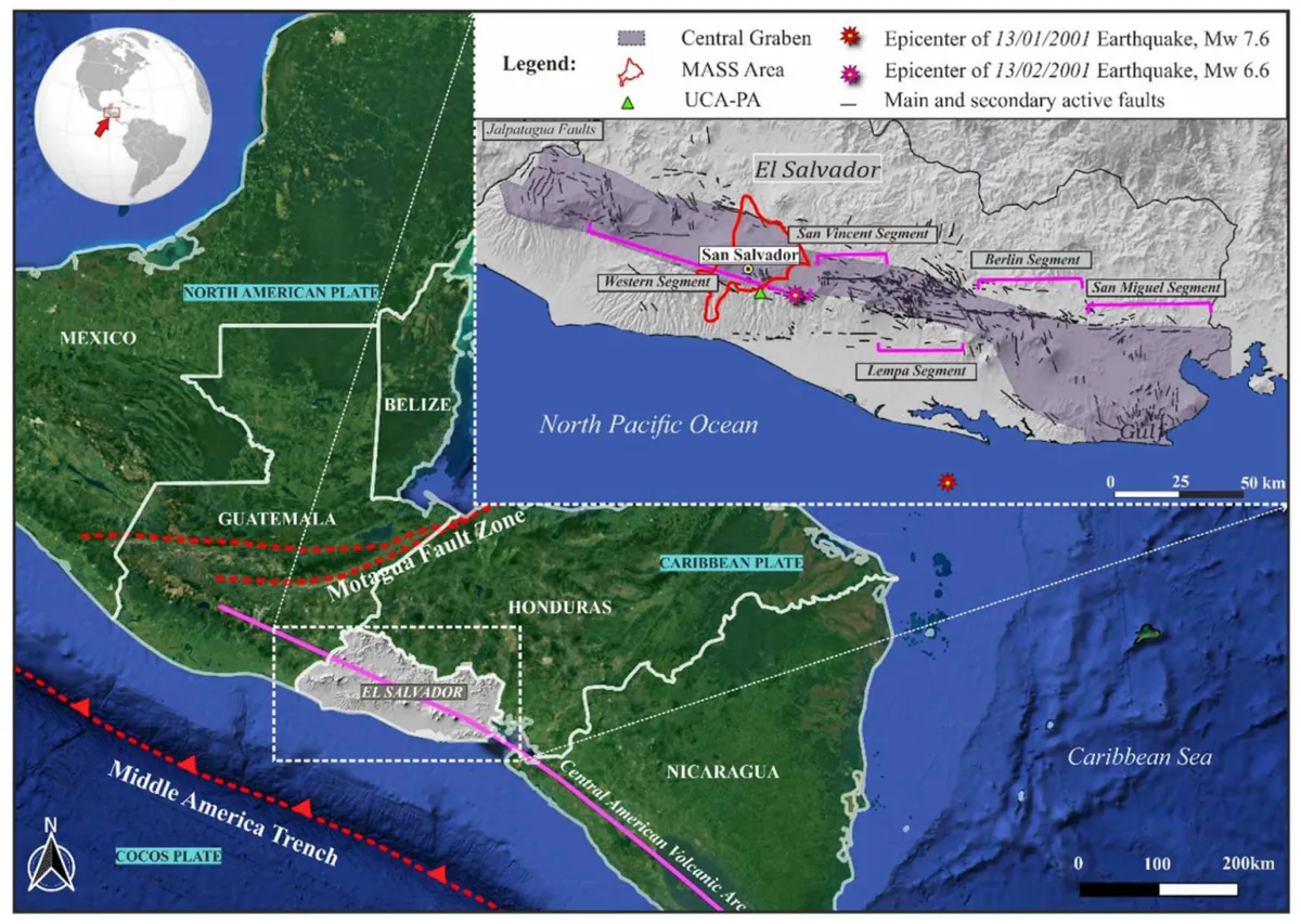
El Salvador, situated along the Pacific Ring of Fire, is no stranger to seismic activity. This geological feature makes the country prone to earthquakes and volcanic eruptions. The nation's western coast, facing the Pacific Ocean, is particularly vulnerable to such events.
President Nayib Bukele took to X, formerly known as Twitter, to provide real-time updates on the situation. He reported two substantial aftershocks following the main tremor, measuring 4.1 and 4.5 in magnitude. Aftershocks are common occurrences after a major earthquake, often causing additional concern for residents.
The earthquake's effects extended beyond El Salvador's borders, with reports of strong tremors felt in neighboring Guatemala. This regional impact underscores the interconnected nature of seismic events in Central America.
Despite the earthquake's strength, initial reports were encouraging. President Bukele stated:
"Thank God, there have been no human or material damages reported so far. 100% of services and traffic on roads continue without interruption."
This positive outcome may be attributed to El Salvador's experience with seismic events and potential improvements in earthquake-resistant infrastructure. The country has faced destructive earthquakes in the past, notably major ones in 2001, which likely influenced preparedness measures.
Importantly, authorities confirmed that there was no risk of a tsunami following this earthquake. While underwater seismic activity can trigger tsunamis, not all oceanic quakes lead to these dangerous waves.
The U.S. Geological Survey, a scientific agency of the United States government, played a crucial role in providing initial data about the earthquake. Seismologists worldwide rely on a network of sensors to detect and measure such events, enabling rapid dissemination of information.
As El Salvador navigates this seismic event, the incident serves as a reminder of the importance of earthquake preparedness and the critical role of public communication during natural disasters. The swift response and transparent updates from government officials exemplify best practices in emergency management.


