


Tropical Storm John Threatens Southern Mexico with Heavy Rainfall
Tropical Storm John forms in the eastern Pacific, prompting warnings for Mexico's southern coast. Forecasters predict significant rainfall and potential flooding in Chiapas, Oaxaca, and Guerrero states.
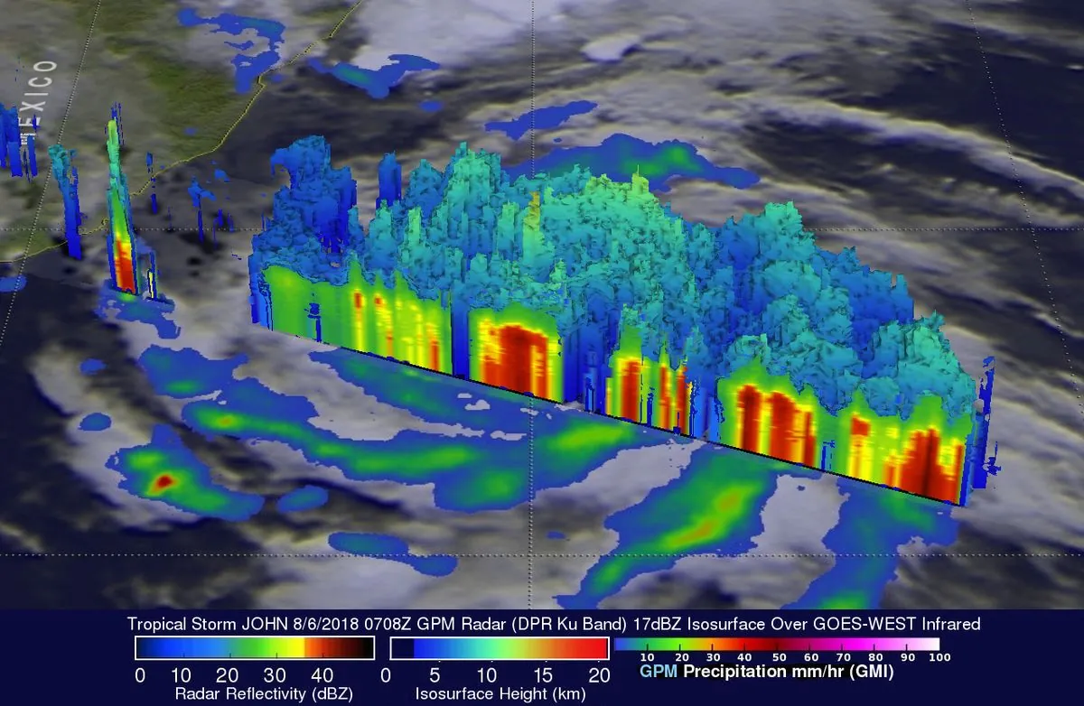
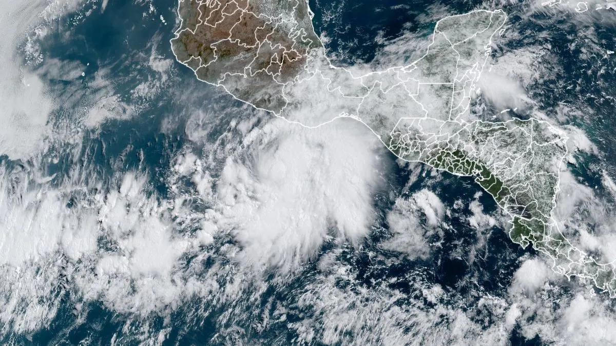
In the eastern Pacific Ocean, a new weather system has emerged, catching the attention of meteorologists and coastal residents alike. Tropical Storm John has formed, raising concerns about potential flooding in southern Mexico as the week progresses.
As of early Monday, September 23, 2024, U.S. forecasters reported that the storm had winds reaching 65 kph (40 mph). The system was located approximately 240 kilometers (150 miles) south of Punta Maldonado, Mexico. This development comes as the eastern Pacific hurricane season, which runs from May 15 to November 30, is in full swing.
In response to the approaching storm, the Mexican government has taken precautionary measures. A hurricane watch and a tropical storm warning have been issued for the coastal area extending from Punta Maldonado to Bahias de Huatulco. These alerts indicate that tropical storm conditions, with sustained winds between 63 to 117 kph (39 to 73 mph), may affect the region within the next 48 hours.
The National Hurricane Center in Miami, established in 1965, provided insights into John's behavior and trajectory. While the storm was initially nearly stationary, it is expected to advance towards the southern Mexican coast on Tuesday and Wednesday. Forecasters anticipate that the system will intensify before making landfall.
Rainfall predictions for the affected areas are significant. Through Thursday, coastal regions of Chiapas state are expected to receive 15 to 30 centimeters (6 to 12 inches) of rain, with higher amounts possible in isolated areas. Chiapas, Mexico's southernmost state, is known for its diverse ecosystems, which may be impacted by the heavy precipitation.
Even more substantial rainfall is forecasted for areas along and near the Oaxaca coast to southeast Guerrero. These regions could experience between 25 and 50 centimeters (10 and 20 inches) of rain, with some localities potentially receiving even higher totals. Oaxaca, famous for its indigenous cultures and archaeological sites, and Guerrero, home to the popular tourist destination Acapulco, may face significant challenges due to this deluge.
It's worth noting that flooding from tropical storms can often cause more damage than wind in some cases. The mountainous terrain of Mexico's Pacific coast increases the risk of landslides, which are a significant concern in coastal areas during heavy rainfall events.
Mexico's comprehensive hurricane warning system and the National Civil Protection System are likely to be activated to coordinate disaster response efforts. The Mexican Navy also plays a crucial role in storm monitoring and rescue operations, ensuring the safety of coastal communities.
Climate scientists have observed that climate change is expected to increase the intensity of tropical cyclones. This trend underscores the importance of preparedness and resilience in coastal regions prone to such weather events.
As Tropical Storm John approaches, its impact on agriculture, tourism, and infrastructure in the affected states remains a concern. The Pacific coast of Mexico experiences an average of 8-9 named storms per year, and each brings unique challenges to the region.
Residents and visitors in the potentially affected areas are advised to stay informed about the storm's progress and follow guidance from local authorities. With the possibility of rapid intensification under favorable conditions, John's development will be closely monitored in the coming days.