Tropical Storm Threatens Southeast U.S. with Heavy Rain and Flooding
A tropical storm system approaches the Carolinas, bringing strong winds and heavy rainfall. Forecasters warn of potential flooding and rough surf along the Southeast coast.

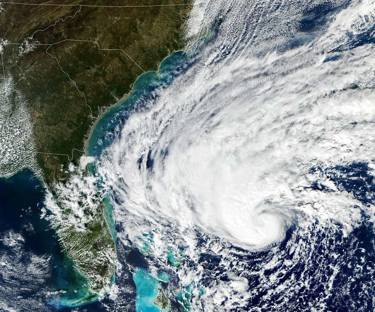
A tropical storm system is advancing towards the southeastern United States, prompting weather alerts and concerns about potential flooding. As of September 16, 2024, forecasters anticipate tropical storm conditions along portions of the Southeast coastline.
The low-pressure system, currently situated approximately 95 miles (155 kilometers) east-southeast of Charleston, South Carolina, is moving northwest at 3 mph (6 kph). With maximum sustained winds of 50 mph (85 kph), the storm falls within the tropical storm category, which encompasses cyclones with wind speeds ranging from 39-73 mph (63-118 km/h).
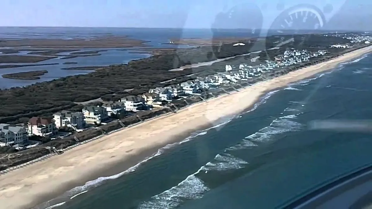
A tropical storm warning has been issued for coastal areas extending from Edisto Beach, South Carolina, to Ocracoke Inlet in North Carolina's Outer Banks. The Outer Banks, a 200-mile-long chain of barrier islands, are particularly vulnerable to such weather systems.

The National Hurricane Center (NHC), a component of the National Weather Service, predicts the storm will reach the South Carolina coast by Monday afternoon. It is then expected to move inland across the Carolinas from Monday night through Wednesday. While the system's chances of developing into a tropical or subtropical cyclone appear to be diminishing, it still poses significant risks.
Forecasters anticipate substantial rainfall, with 4 to 8 inches (10 to 20 centimeters) expected in northeastern South Carolina and southeastern North Carolina. Isolated areas may receive up to 10 inches (25 centimeters) of rain. Virginia is also likely to experience 1 to 3 inches (2.5 to 8 centimeters) of rainfall from Monday night through Wednesday.
This heavy precipitation raises concerns about various types of flooding. Flash floods, which can develop within minutes or hours of excessive rainfall, pose an immediate threat. Urban flooding may occur if city drainage systems become overwhelmed, while minor river flooding is also possible as water levels rise above river banks.
"The rainfall could lead to isolated and scattered flash and urban flooding, as well as minor river flooding."
It's important to note that while the Saffir-Simpson Hurricane Wind Scale categorizes hurricanes based on wind speed, it does not account for rainfall or storm surge potential. These factors can often cause significant damage and pose serious risks to coastal communities.
As climate change continues to influence weather patterns, experts anticipate an increase in the intensity of tropical storms. The Carolinas have a history of being impacted by powerful hurricanes, including the devastating Hurricane Hugo in 1989.
Residents and visitors in the affected areas should stay informed about the storm's progress and follow local authorities' guidance. The NHC advises that rough surf conditions are expected along the Southeast coast over the next few days, adding another layer of concern for coastal communities.
As the Atlantic hurricane season, which officially runs from June 1 to November 30, continues, this storm serves as a reminder of the importance of preparedness and vigilance in coastal regions.


